Springfield is the capital of the U.S. state of Illinois and the county seat of Sangamon County. The city's population of 116,250 as of the 2010 U.S. Census makes it the state's sixth most populous city. It is the largest city in central Illinois. As of 2013, the city's population was estimated to have increased to 117,006, with just over 211,700 residents living in the Springfield Metropolitan Statistical Area, which includes Sangamon County and the adjacent Menard County.
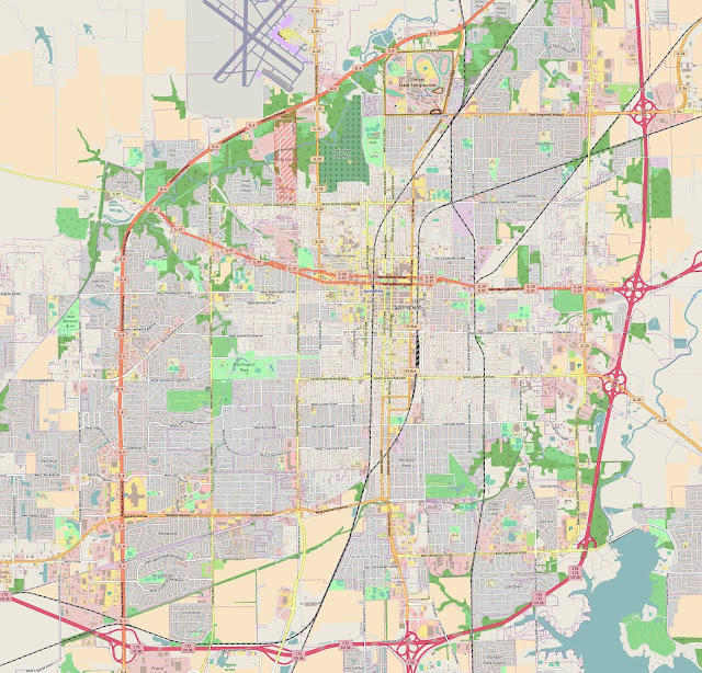
Springfield map
Present-day Springfield was settled by European Americans in the late 1810s, around the time Illinois became a state. The most famous historic resident was Abraham Lincoln, who lived in Springfield from 1837 until 1861, when he went to the White House as President. Major tourist attractions include multiple sites connected with Lincoln including his presidential library and museum, his home from 1837 to 1861, and his tomb at Oak Ridge Cemetery.
The city lies in a valley and plain near the Sangamon River. Lake Springfield, a large artificial lake owned by the City Water, Light & Power company (CWLP), supplies the city with recreation and drinking water. Weather is fairly typical for middle latitude locations, with hot summers and cold winters. Spring and summer weather is like that of most midwestern cities; severe thunderstorms may occur. Tornadoes hit the Springfield area in 1957 and 2006.
The city has a mayor–council form of government and governs the Capital Township. The government of the state of Illinois is based in Springfield. State government entities include the Illinois General Assembly, the Illinois Supreme Court and the Office of the Governor of Illinois. There are three public and three private high schools in Springfield. Public schools in Springfield are operated by District No. 186. Springfield's economy is marked by government jobs, and the medical field, which account for a large percentage of the city's workforce.

Comments
Post a Comment