Birmingham is a city and a metropolitan municipality belonging to the United Kingdom, in the English region of the West Midlands. By its population, Birmingham is considered the second city of the country. The reputation of the city was forged as the locomotive of the Industrial Revolution in the United Kingdom, being known as "The workshop of the world" or "City of a thousand trades".
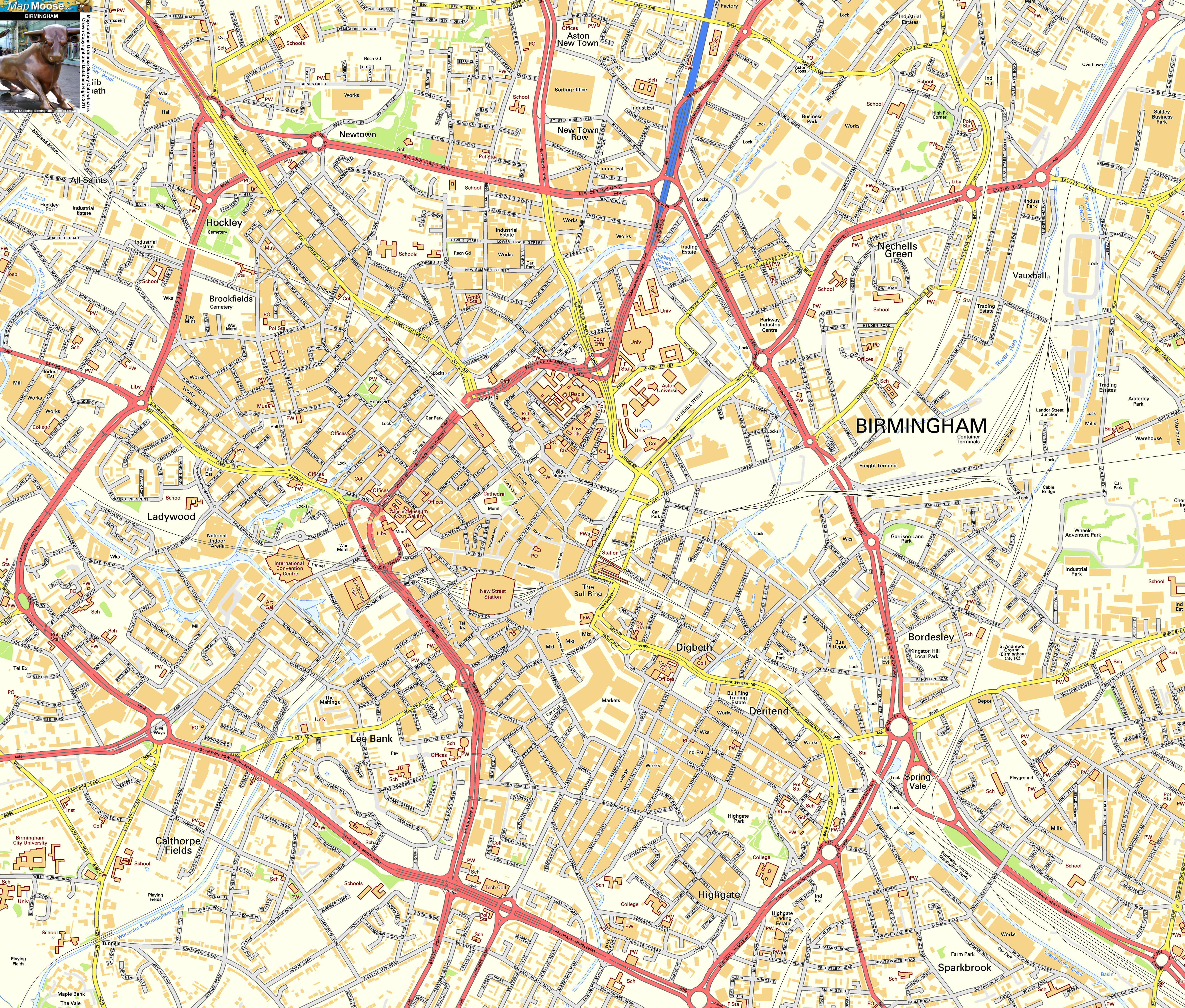
Birmingham Map

The City of Birmingham has a population of 1,074,300 (2011). It is part of the great West Midlands conurbation, which has a population of 2,440,986 inhabitants (census of 2011) and includes several cities and neighboring municipalities, such as Coventry, Solihull, Wolverhampton and Black Country villages. The natives of Birmingham are known as Brummies, a term derived from the nickname of the city (Brum).
Birmingham is an ethnically and culturally diverse city. In the 2011 census, 57.9% of the population was white (including 2.7% Irish); 26.6%, Asian or Asian-British; 8.9%, black or West Indian; While the rest are mestizo or other ethnicities.
Birmingham is situated in the center of the West Midlands region of England, on the plateau of Birmingham. These are relatively high lands for the average of the country, since it oscillates between 50 and 300 m of altitude above sea level. Moreover, the area is crossed by the main hydrographic network that runs from Great Britain north to south: the river basins of the Severn and Trent rivers.
To the southwest of the city are the hills of Lickey, 5 Clent and Walton, which reach an altitude of 315 m and have wide views over the city. Apart from its canals, Birmingham is irrigated by some streams and small rivers, such as Cole and Rea.
The city of Birmingham forms a conurbation with the largely residential town of Solihull in the south-east, and with the city of Wolverhampton and the industrial cities of the Black Country in the northwest: all this forms the urban area of the West Midlands, which covers a Extension of 59,972 hectares (600 km 2, 232 square miles). Around this area is the metropolitan area of Birmingham, that is, a territory that is closely linked to the city, since many of the people who live in that area are traveling daily to the city to work there. In this metropolitan area lies Tamworth, the former capital of the Kingdom of Mercia, and Lichfield, with its imposing cathedral (to the north); The industrial town of Coventry and the small towns of Warwickshire, such as Nuneaton, Warwick and Royal Leamington Spa (to the east); And the towns of the county of Worcestershire, like Redditch and Bromsgrove (to the southwest).
Much of the area now occupied was covered by the northern part of the old Arden forest. Proof of the existence of that old oak tree are the numerous oaks that still remain in the city. Equally, it is no coincidence that many districts have finished names in "-ley" (Moseley, Saltley, Yardley, Stirchley and Hockley), since that root derives from the old English "leah", that means "forest of compensation ".
Birmingham Map
The City of Birmingham has a population of 1,074,300 (2011). It is part of the great West Midlands conurbation, which has a population of 2,440,986 inhabitants (census of 2011) and includes several cities and neighboring municipalities, such as Coventry, Solihull, Wolverhampton and Black Country villages. The natives of Birmingham are known as Brummies, a term derived from the nickname of the city (Brum).
Birmingham is an ethnically and culturally diverse city. In the 2011 census, 57.9% of the population was white (including 2.7% Irish); 26.6%, Asian or Asian-British; 8.9%, black or West Indian; While the rest are mestizo or other ethnicities.
Birmingham is situated in the center of the West Midlands region of England, on the plateau of Birmingham. These are relatively high lands for the average of the country, since it oscillates between 50 and 300 m of altitude above sea level. Moreover, the area is crossed by the main hydrographic network that runs from Great Britain north to south: the river basins of the Severn and Trent rivers.
To the southwest of the city are the hills of Lickey, 5 Clent and Walton, which reach an altitude of 315 m and have wide views over the city. Apart from its canals, Birmingham is irrigated by some streams and small rivers, such as Cole and Rea.
The city of Birmingham forms a conurbation with the largely residential town of Solihull in the south-east, and with the city of Wolverhampton and the industrial cities of the Black Country in the northwest: all this forms the urban area of the West Midlands, which covers a Extension of 59,972 hectares (600 km 2, 232 square miles). Around this area is the metropolitan area of Birmingham, that is, a territory that is closely linked to the city, since many of the people who live in that area are traveling daily to the city to work there. In this metropolitan area lies Tamworth, the former capital of the Kingdom of Mercia, and Lichfield, with its imposing cathedral (to the north); The industrial town of Coventry and the small towns of Warwickshire, such as Nuneaton, Warwick and Royal Leamington Spa (to the east); And the towns of the county of Worcestershire, like Redditch and Bromsgrove (to the southwest).
Much of the area now occupied was covered by the northern part of the old Arden forest. Proof of the existence of that old oak tree are the numerous oaks that still remain in the city. Equally, it is no coincidence that many districts have finished names in "-ley" (Moseley, Saltley, Yardley, Stirchley and Hockley), since that root derives from the old English "leah", that means "forest of compensation ".
Comments
Post a Comment